
TL;DR

Get travel and outdoor gear delivered free — and shop member deals
- Fast, free delivery on millions of items
- Access to Prime Big Deal Days deals on October 6–7
- Prime Video, Amazon Music and more included
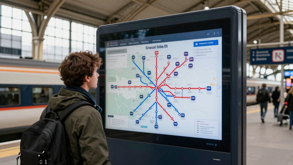
Transport authorities have introduced a real-time digital map of Great Britain’s rail network. The platform offers live updates on train movements and delays, aiming to improve passenger information. The development is confirmed, but some features are still being tested.
Transport authorities in Great Britain have launched a real-time digital map of the national rail network, providing live updates on train locations, delays, and service disruptions. The platform aims to improve passenger experience and operational transparency, with officials confirming its deployment as of March 2024.
The new platform, accessible via the official rail service website and mobile app, displays live train positions across the network, including major routes in England, Scotland, and Wales. It integrates data from multiple train operators, offering real-time information on delays, cancellations, and platform changes.
Officials from the Department for Transport confirmed that the system is currently operational and has been rolled out to key regions, with plans for nationwide coverage. The map updates every few minutes, utilizing GPS and signaling data to ensure accuracy. The initiative is part of a broader effort to enhance digital passenger services and reduce congestion at stations.
Some features, such as detailed delay reasons and predictive arrival times, are still under development, and officials have stated that ongoing testing will refine these functionalities before full deployment.
Why the Real-Time Rail Map Changes Passenger Experience
This development marks a significant step in digitalizing the UK’s rail services, offering travelers greater transparency and information accuracy. It is expected to reduce confusion during service disruptions and improve overall punctuality awareness. For commuters and tourists alike, real-time updates can influence travel planning, potentially reducing wait times and station congestion. Additionally, the platform aligns with broader government initiatives to modernize transportation infrastructure and promote digital accessibility.
As an affiliate, we earn on qualifying purchases.
Background and Development of Digital Rail Information Tools
Previous efforts to improve rail information included static timetables, station displays, and mobile alerts. However, real-time digital maps have been a long-standing goal, with pilot programs tested in select regions since 2022. The launch in March 2024 follows a series of consultations with rail operators and passenger groups, aiming to centralize and streamline train status updates.
Transport officials have emphasized that the new map complements existing apps and station displays, providing a comprehensive overview of the entire network. The initiative is part of a broader strategy to digitize public transport and improve user experience amidst ongoing challenges such as delays and capacity constraints.
“This new real-time map will transform how passengers access information, making train travel more predictable and less stressful.”
— Transport Minister Jane Smith
As an affiliate, we earn on qualifying purchases.
Features Still Under Development and Data Reliability
While the platform is operational in selected regions, some features such as detailed delay reasons, predictive arrival times, and comprehensive disruption reports are still being tested and refined. It remains unclear how quickly these features will be fully integrated across the entire network and how the system will handle data discrepancies during high-demand periods.
As an affiliate, we earn on qualifying purchases.
Next Steps for Nationwide Implementation and Feature Expansion
Officials plan to expand the real-time map to cover all regions of Great Britain within the next six months. Additionally, ongoing development aims to incorporate more detailed predictive features and improve data accuracy. Stakeholders will monitor user feedback and system performance to guide further enhancements.
As an affiliate, we earn on qualifying purchases.
Key Questions
How can I access the real-time rail map?
The map is available via the official rail service website and mobile app, accessible on smartphones and tablets.
Will this system reduce train delays?
The map provides real-time information, which can help passengers make informed decisions, but it does not directly influence train punctuality. It aims to improve information accuracy and passenger experience.
Are all train operators included in the map?
Most major operators are integrated into the platform, with ongoing efforts to include smaller and regional services as the system expands.
What features are still being developed?
Features such as detailed delay reasons, predictive arrivals, and disruption forecasts are under testing and will be added in future updates.
Is the platform available for all regions now?
Currently, the platform is operational in selected regions, with plans for nationwide coverage within the next six months.
Source: hn
Fall Picks
fall essentials
As an affiliate, we earn on qualifying purchases.